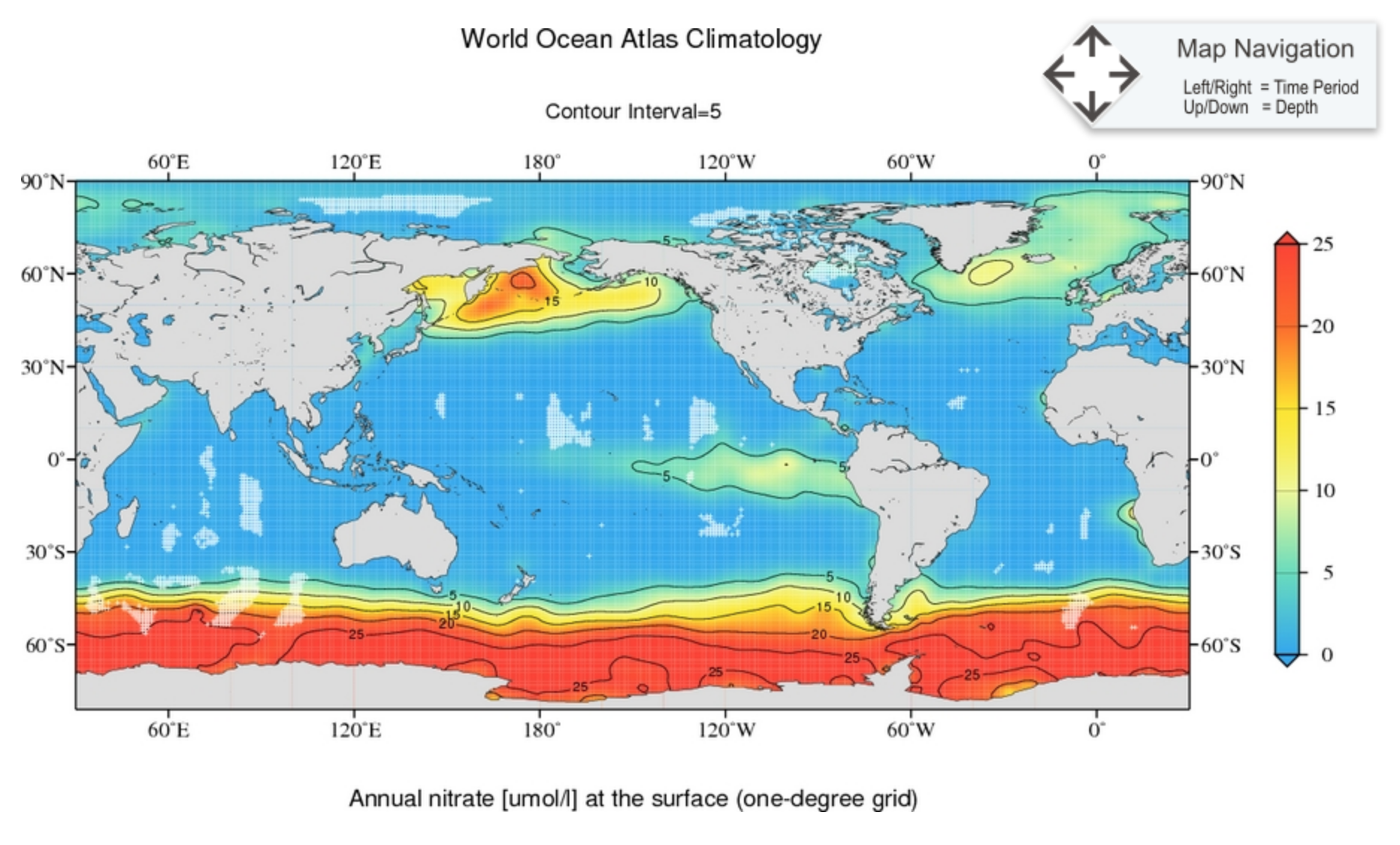
World Ocean Atlas 2013 version 2 (WOA13 V2) is a set of objectively analyzed (1° grid) climatological fields of in situ temperature, salinity, dissolved oxygen, Apparent Oxygen Utilization (AOU), percent oxygen saturation, phosphate, silicate, and nitrate at standard depth levels for annual, seasonal, and monthly compositing periods for the World Ocean.
DESCRIPTORS
type
observations (objectively analysed)
gridded
yes
formats
nc, csv, ArcGIS, ascii (discouraged)
TEMPORAL
period
present
coverage
climatology using years 1955–2012
resolution
annual, seasonal, monthly
climatology
yes
SPATIAL
coverage
global
resolution
1° by 1°
some at 0.25° by 0.25° and 5° by 5°
depth
depth resolved (102 levels between 0 m and 5500 m)

KEY REFERENCES
- Locarnini, R. A., A. V. Mishonov, J. I. Antonov, T. P. Boyer, H. E. Garcia, O. K. Baranova, M. M. Zweng, C. R. Paver, J. R. Reagan, D. R. Johnson, M. Hamilton, and D. Seidov, 2013. World Ocean Atlas 2013, Volume 1: Temperature. S. Levitus, Ed., A. Mishonov Technical Ed.; NOAA Atlas NESDIS 73, 40 pp.
- citable publications for each WOA13 variable can be found here.
MORE INFORMATION
- It also includes associated statistical fields of observed oceanographic profile data interpolated to standard depth levels on 5°, 1°, and 0.25° grids.
- Some variables only have 37 or 57 depth levels at seasonal and monthly temporal resolution.
- Climatologies for different time periods are available.


