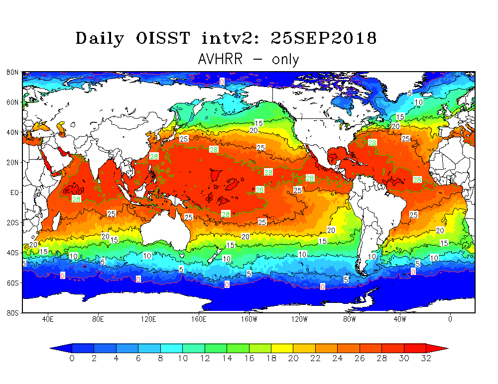
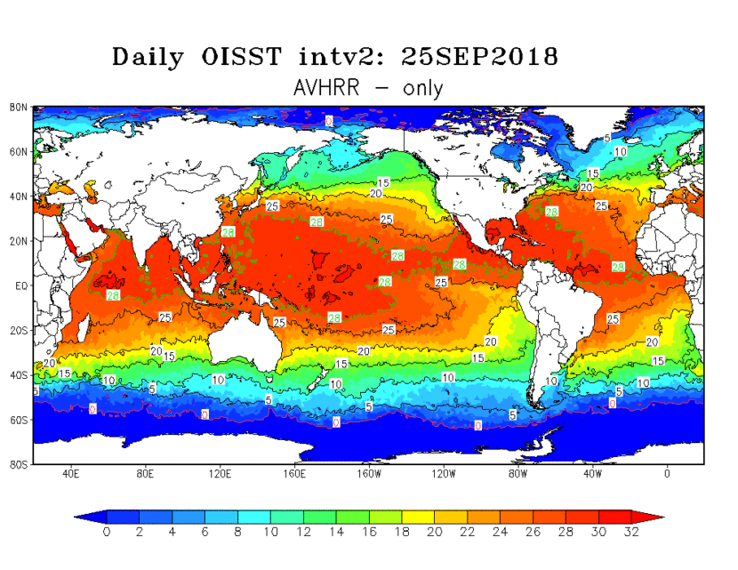
A high-resolution sea surface temperature analysis product that blends in situ (ship and buoy) reports and satellite data and uses optimum interpolation to fill spatial gaps.
DESCRIPTORS
type
observations (interpolated)
gridded
yes
formats
nc
TEMPORAL
period
historical
coverage
1981–present
resolution
daily
SPATIAL
coverage
global
resolution
0.25° x 0.25°
depth
surface

MAJOR VARIABLES
KEY REFERENCES
- Banzon, V., Smith, T. M., Chin, T. M., Liu, C., and Hankins, W., 2016: A long-term record of blended satellite and in situ sea-surface temperature for climate monitoring, modeling and environmental studies. Earth Syst. Sci. Data, 165–176, doi:10.5194/essd-8-165-2016.
- Reynolds, R. W., T. M. Smith, C. Liu, D. B. Chelton, K. S. Casey, and M. G. Schlax, 2007: Daily high-resolution-blended analyses for sea surface temperature. Journal of Climate. doi:10.1175/JCLI-D-14-00293.1.


